
TRAILS & ROUTES NEAR MULBERRY GAP


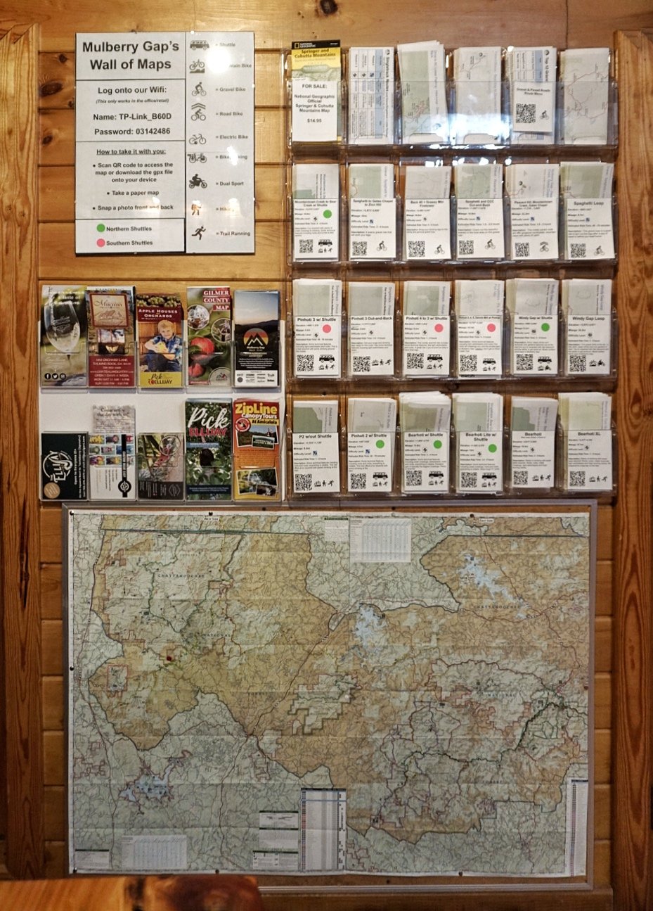
EXPLORE THE ROUTES
Sort by length, elevation, gravel, singletrack, road, bikepacking, or a mixture of all! We’ve put together some great routes for you to get the most of your visit. You can also export gpx files to your Garmin or Wahoo for turn by turn directions and cues.
Day Guests and Weekend Overnight Guests are welcome to come talk to our staff in the retail store for advice on routes and to pick up some helpful paper maps with cue sheets!
With lots of options to choose from, you’ll leave Mulberry Gap tired but rejuvenated.
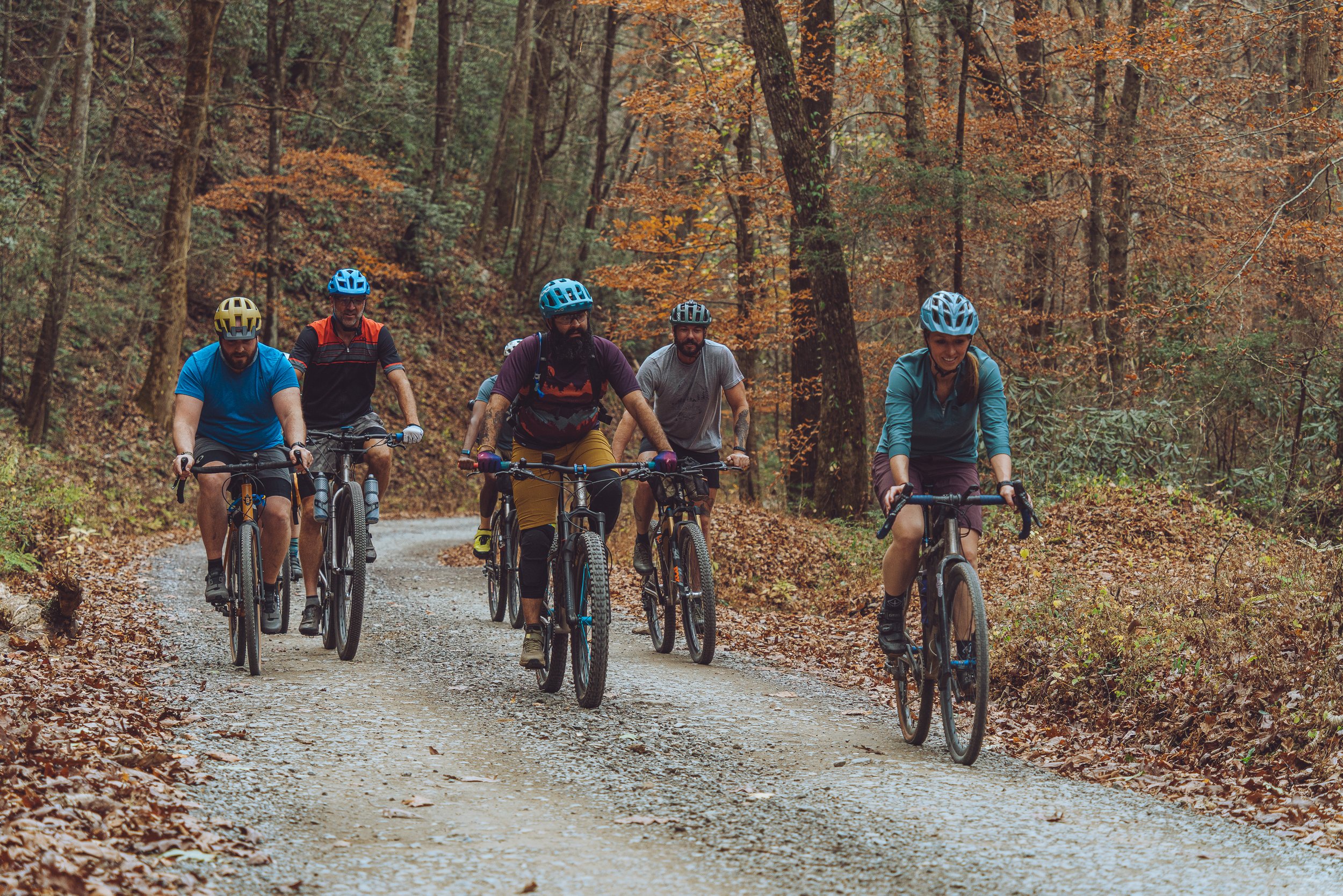
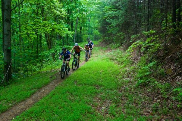
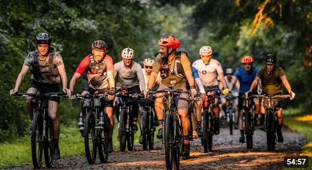
Top Mountain Bike Rides
Thanks, @Ryan Atkins
Thanks, @Dr. P-Body
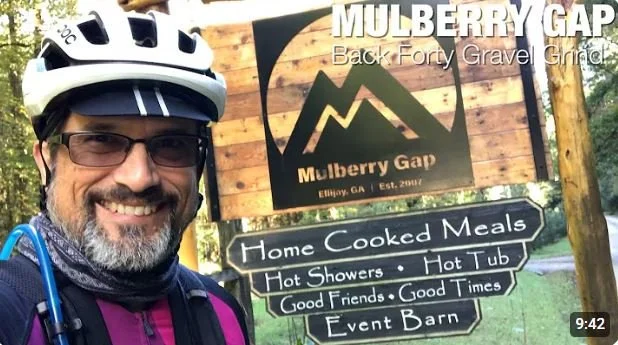
Top Gravel Rides
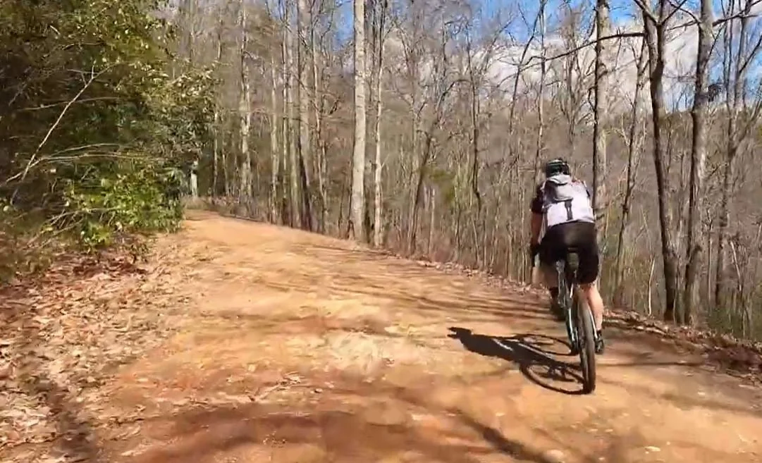


A challenging loop with thigh burning climbs and screaming descents. 32 or 40-mile options… and be prepared with plenty of snacks and water.
Thanks, @Gabriel Pulido
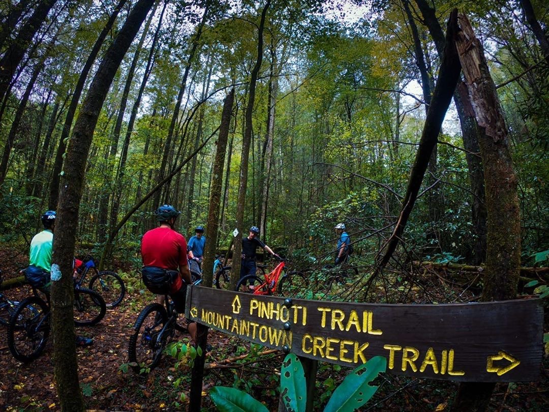
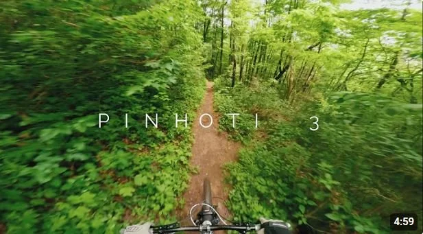
With the trailhead within site of Mulberry Gap, 5 mile Pinhoti 3 (+ an extra mile known as P4) can be ridden out-n-back or with a shuttle drop at the top!
Looped straight from the front door of Mulberry Gap, this 9.5-mile route is a nice mixture of gravel and single track with gradual climbs and descents.
A 13-mile fast paced mixed surface loop of gravel and pavement with country views and punchy climbs.
A lovely 9.5-mile loop from Mulberry Gap along rushing creeks with equal parts climbing and descending.
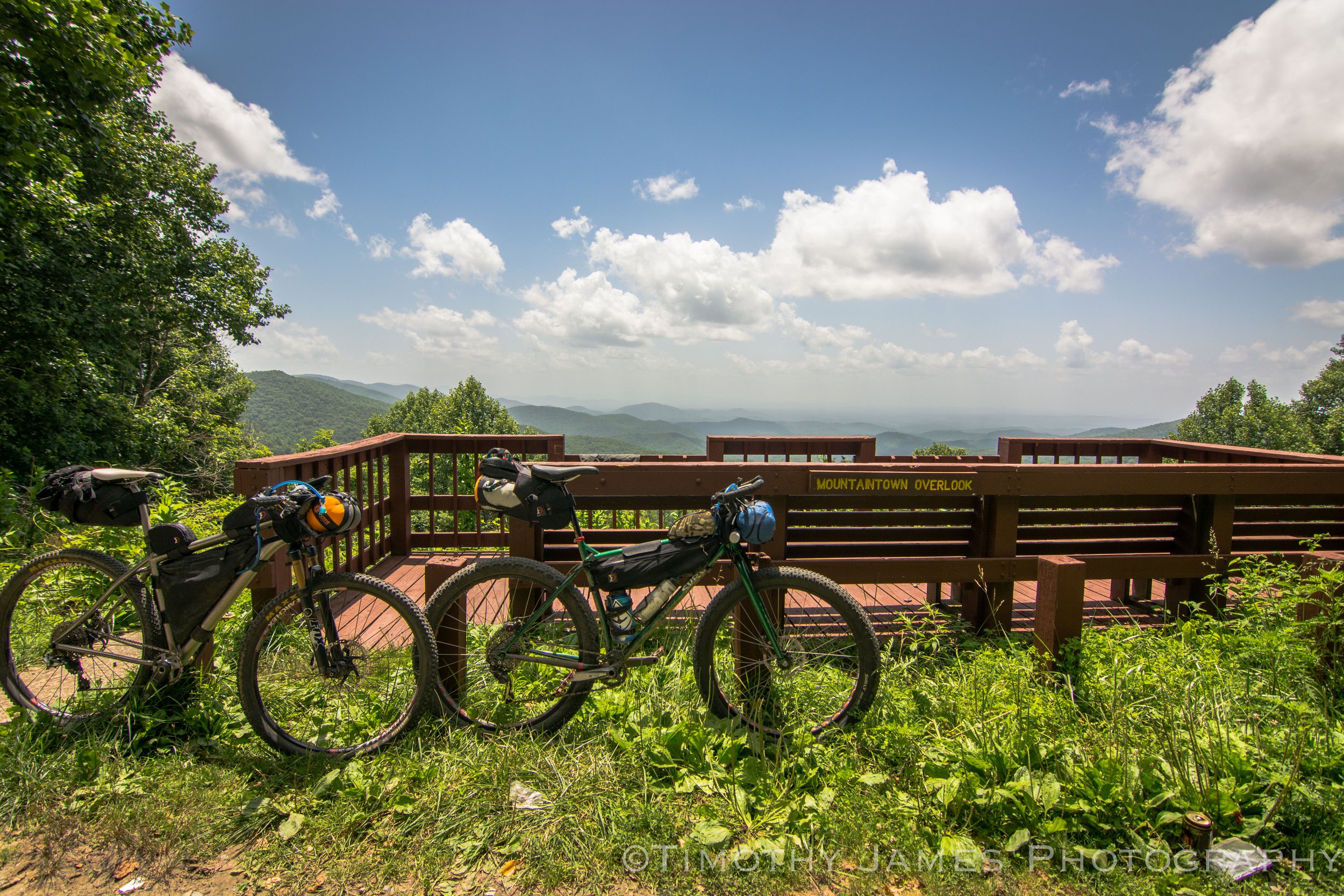
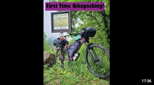
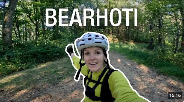
The 44.9 mile multi-surface Back40 to Bearhoti route takes you along gravel, singletrack, and even a tiny bit of pavement. This is most frequently done as a 1-night overnight, but could be stretched into 2-nights for riders who are looking for shorter mile days. Over the course of this loop you’ll climb 5,657 feet with a robust maximum grade of 13.1%. Camping options can be found at Conasauga Lake Campground, and/or at the Bear Creek Campground.
The 110 mile 2020 Tour de Liverance route by Corvus Racing is a pavement-heavy tour of the Ellijay area with assorted hotel, campgrounds, and AirBNB options (and of course Mulberry Gap!) Riders will see 9,679 feet for climbing with a maximum grade of 15.5%. This route spends a hefty 80% of time on paved surfaces, and also swings right through the heart of downtown Ellijay with restaurants, shops, ice cream, and tons of treats.
Looped straight from the front door of Mulberry Gap, this 9.5-mile route is a nice mixture of gravel and single track with gradual climbs and descents.
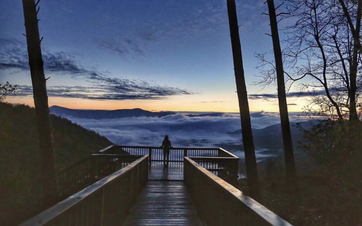
This 9.5-mile route is an out & back that includes challenging climbs, sweet single track, endless switchbacks and a breathtaking view at Cohutta Overlook.
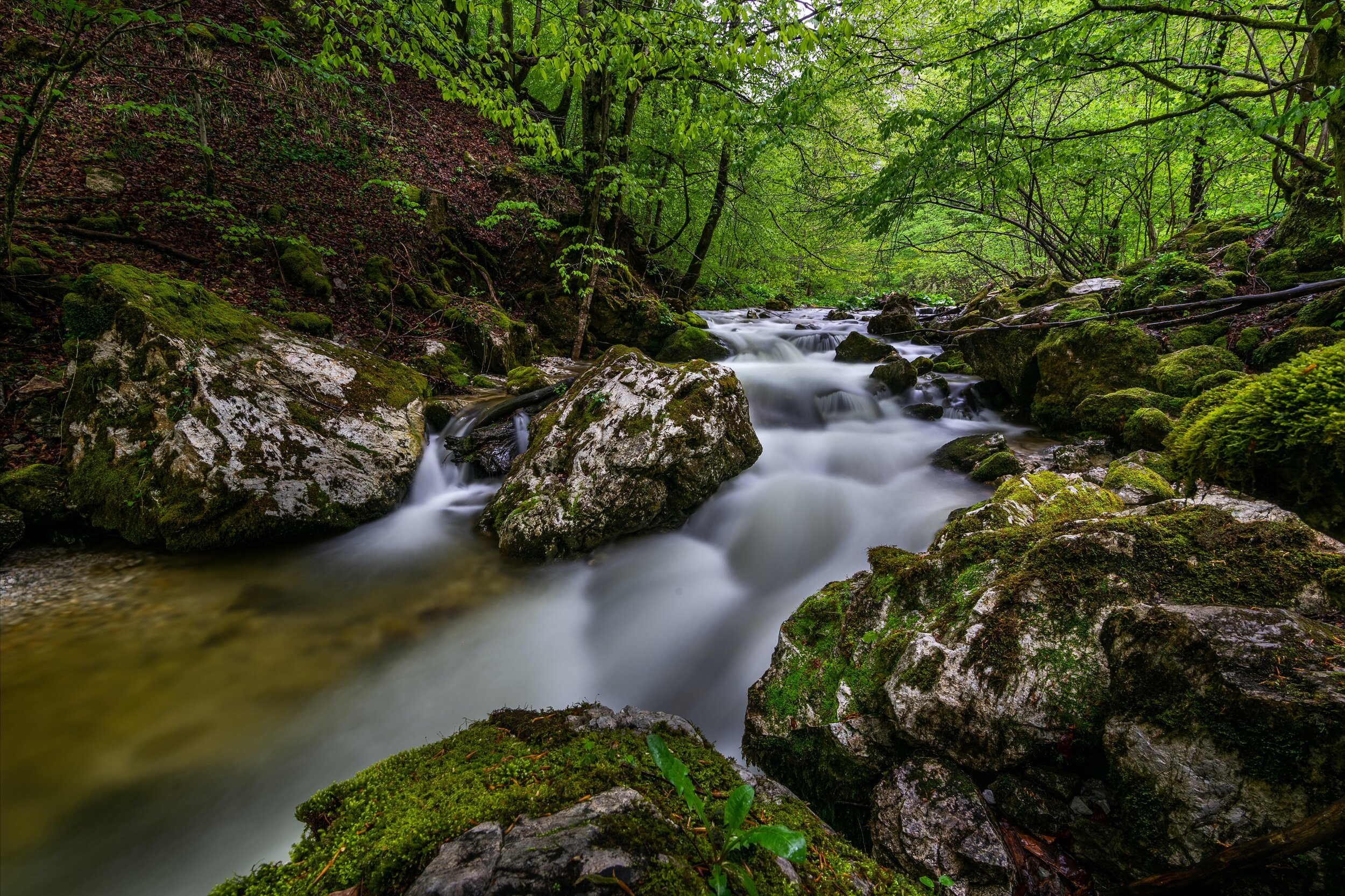
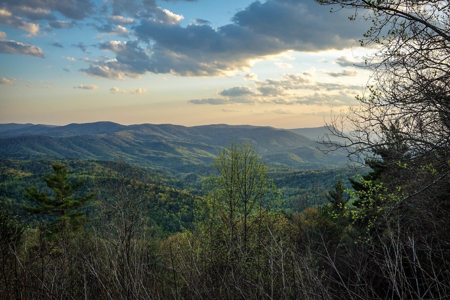
Offering a mixture of gravel, single track, waterfalls, scenic creeks, and overlook views - this 18.5-mile route has it all!
This moderate 7-mile ribbon of single track with roots and rocks makes this hike a great out and back on the Pinhoti.
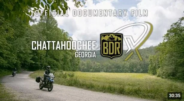
Brought to you by Backcountry Discovery Routes, the Chattahoochee BDR-X is a 350-mile loop featuring the best dual-sport and adventure riding in the north Georgia mountains. This unforgettable route combines graded forest roads, primitive two-track, & scenic backcountry pavement under the canopy of the Chattahoochee National Forest.
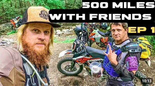
With just under 500 Miles winding through 3 States, this is the #1 most ridden big loop in the Southeast! The Smokey Mountain 500 is a 70/30% dirt vs paved adventure route that rolls by just a couple miles from the front gates of Mulberry Gap while circling through the Georgia, Tennessee, and North Carolina Smokey Mountains.
Thanks, @Adventure South USA
Thanks, @RideBDR
This 32-mile loop starts with a 13-mile gravel climb then winds its way down several mountain ridges along creeks, waterfalls and overlooks.
Offering a mixture of gravel, single track, waterfalls, scenic creeks, and overlook views - this 18.5-mile route has it all!
Thanks, @Morgan Bishopp MTB
Thanks, @Gabriel Pulido
Thanks, @GravelCyclist (not this exact route, but roads in the same area)
Thanks, @Matt Kretchmar (not this exact route, but the same roads)
Top Bikepacking Routes
This iconic Trans North Georgia Adventure bikepacking route stretches roughly 360 miles across the mountains of North Georgia, linking together forest roads, rugged gravel, punchy climbs, and just enough pavement to keep you honest. With over 50,000 feet of climbing, most riders spend 4–8 days tackling the route. Beginning in South Carolina and finishing at the Alabama state line, the TNGA is equal parts adventure, suffering, beauty, and accomplishment.
Thanks, @Brandon Volz (not this exact route, but very similar nearby roads/trails)
Ah, the Cohutta Cat! This nearly 300 mile figure-8 behemoth delivers 33,748 feet of climbing with a maximum grade of 27%! The route is often undertaken over 3-5 nights. This link takes you to the 2018 version of the route, but you can learn more and check out different versions on the route’s official website HERE. May the cantankerous orange cat guide you wisely on your journey!
Thanks, @Mustin Productions
Thanks, @Rasch Hole
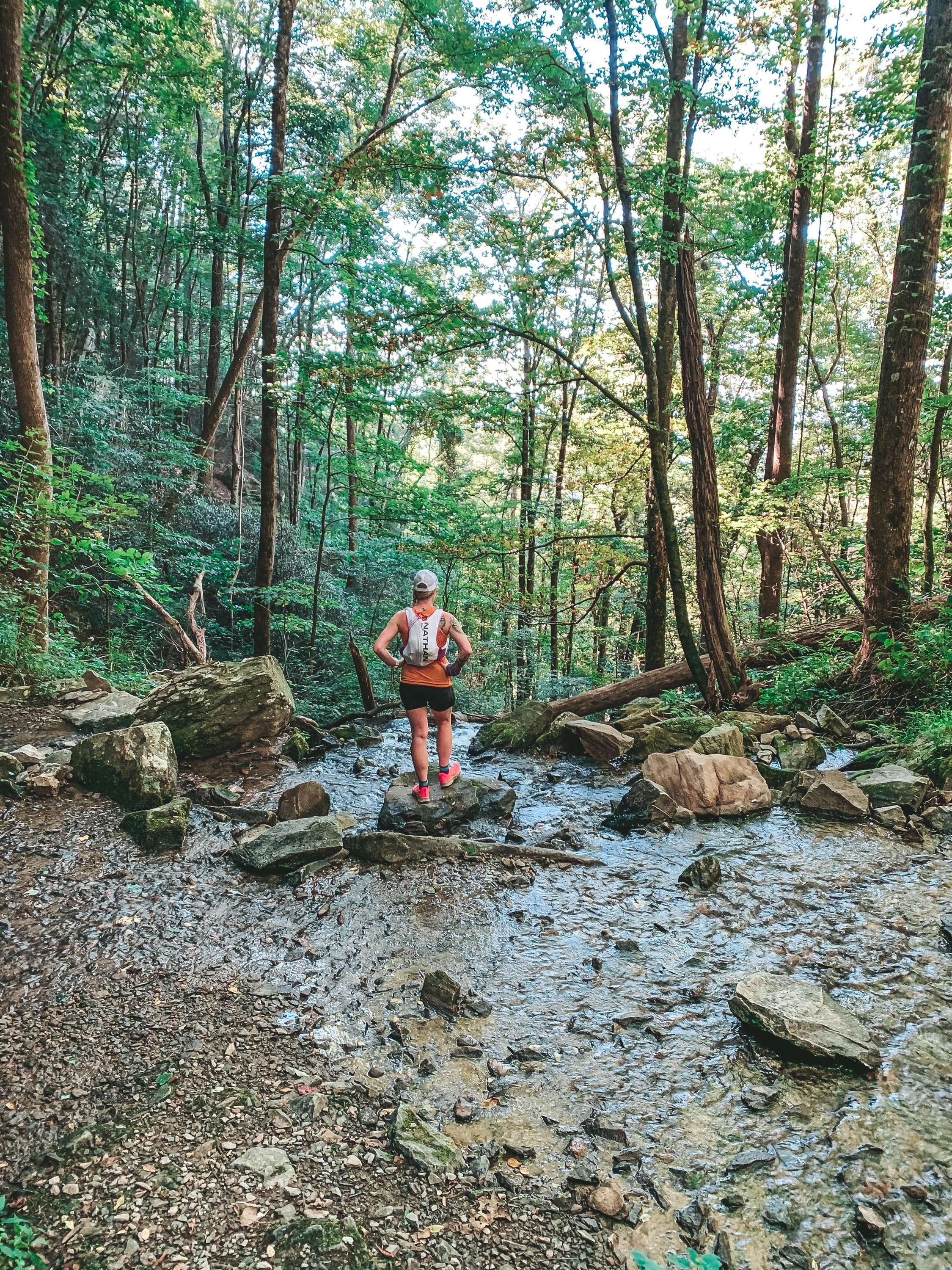
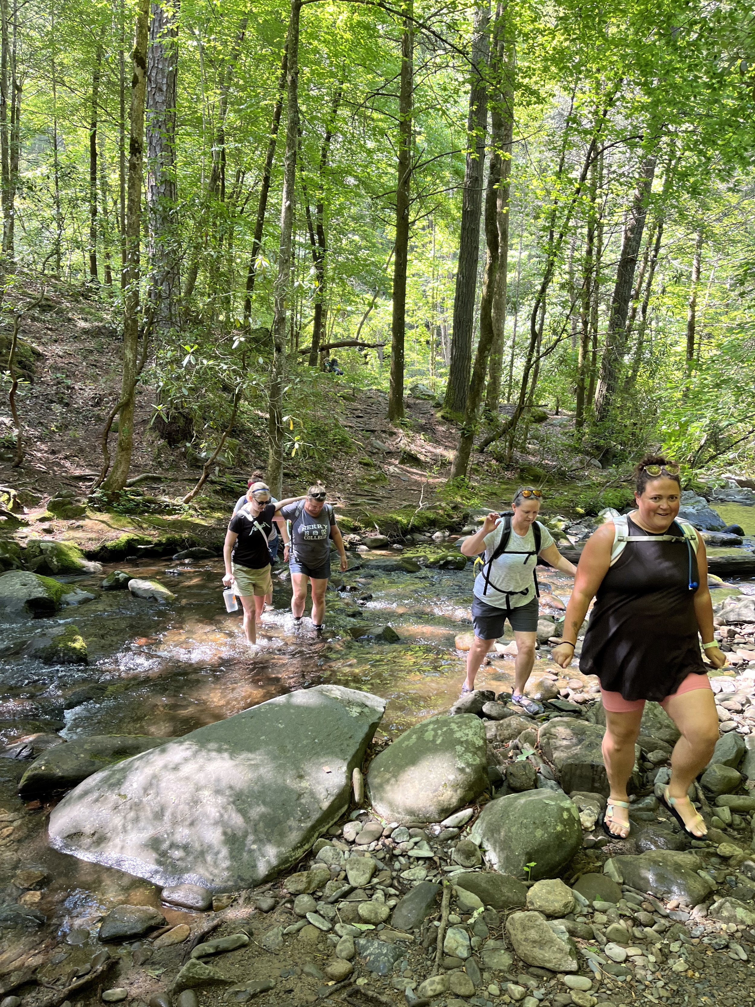
Top Trail Runs and Hikes
Rock Creek/Tatum Lead’s 5.5 miles of wooded trails are suitable for mountain bikes, motorbikes, ATVs and 4-wheel drive vehicles. The trail follows an old woods road along the ridge line of Tatum Mountain throughout dense forest. - Tatum Lead connects to Rock Creek ORV Trail.


Spanning approximately 1,300 miles and rolling right past the Mulberry Gap gate, the SEBDR route starts at the Gulf of Mexico in Florida and winds its way through the Appalachian Mountains in Alabama, North Georgia, Tennessee, and North Carolina, before concluding in Damascus, Virginia.
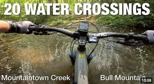
Emery Creek Falls Trail is a 5.7-mile, 2.5-3 hours out-and-back hike along the Creek crossing the water 11 times before reaching a stunning two-tier waterfall.
This 2-mile entry level hike treks the classic Bear Creek trail and takes you to the Gennett Poplar tree; the second largest tree in Georgia!
Top Dual Sport & Adventure Motorcycle Routes
Thanks, @MotoMission with Brock Gill
Thanks, @RideBDR